Green shape shows location of his land in 1939 according to the deed.
Orange lines show 305 feet from intersection of Meeting House Road and Evans Road.
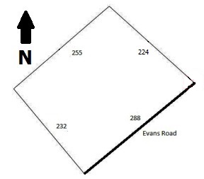
The southern most tip of his land was 305 feet from the intersection of Meeting House Road and Evans Road.
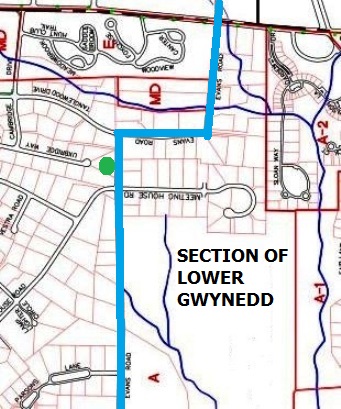
Below is an 1877 map. Meeting House Road is marked pink. Evans Road is marked blue.
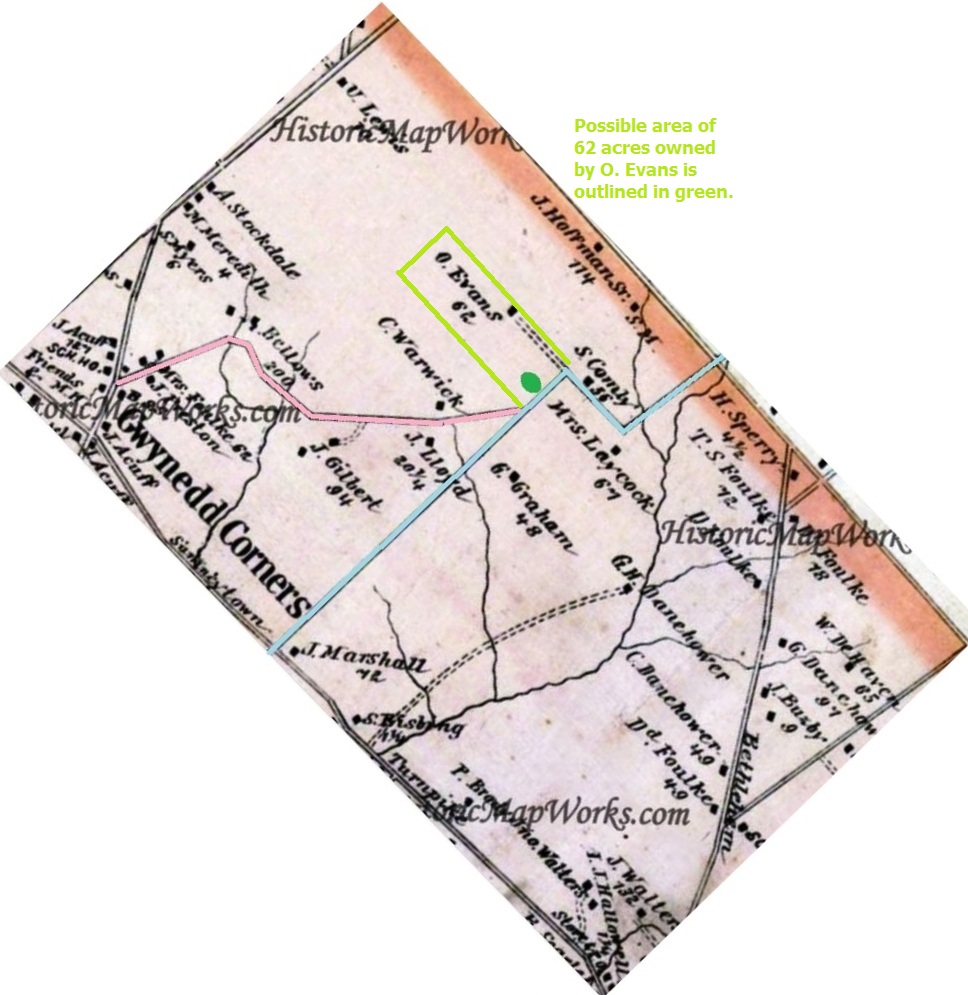
O. Evans was a former owner of his land. See green dot.
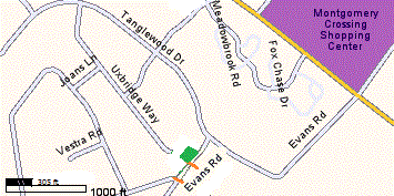
Below is a recent map showing the 2017 residential lots that exist. See green dot. His house was replaced.
Evans Road is marked blue.