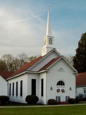
Recent picture of Enon Church
Refer to the white numbers on the map to your right.
Because Grant's forces had no success getting across the North Anna at 1 (the Jericho Mills and Ox Ford area) and 2 (the Hanover Junction area), he moved them down along the Pamunkey River across from Hanover Court House (Hanover C H on the map) to try to cross, but it was too well guarded.
Sheridan's calvary got across the Pamunkey without detection and initiated a diversionary battle at 3 (Enon Church) so the main Union forces could cross the Pamunkey at Hanovertown (Hanover T on the map). Pause your cursor there on the map.
The Totopotomoy Creek was narrow and not as difficult to cross even though there was a heavy clash of Grant's and Lee's forces at 4 (Bethesda Church).
Sheridan next swept around 4 and took 5 (the crossroads at Cold Harbor). One of the biggest battles of the Civil War then loomed because the Confederate Capital and victory was only ten miles away. My great grandfather probably thought the end of the war was very close. Grant continuosly tried to get to Richmond along the railroad routes (thick black lines).
